Skip to content

Brandon Karcher

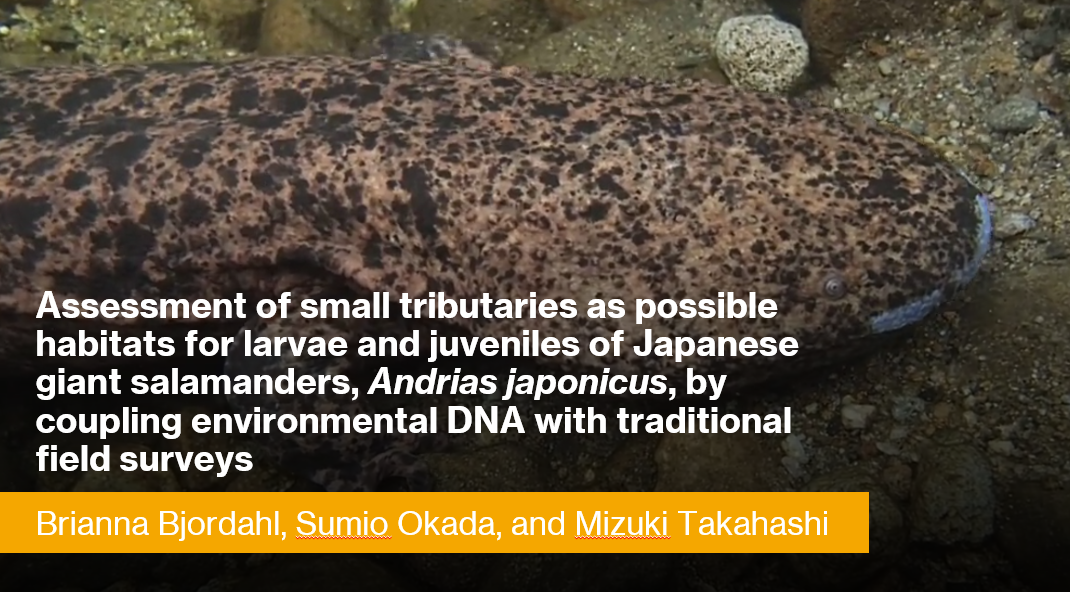
Assessment of small tributaries as possible habitats for larvae and juveniles of Japanese giant salamanders, Andrias japonicus, by coupling environmental DNA with traditional field surveys

Demographic assessments of all four cryptobranchid salamander species have continued to indicate declines over the past several decades. One of the conservation challenges facing all cryptobranchid salamanders is the paucity of information about larvae and juveniles. Larvae and juveniles have only rarely been encountered during field surveys, even in streams where adults have commonly been found. In the case of the Japanese giant salamander (Andrias japonicus), several lines of evidence imply that larval and juvenile age classes use different habitats than adults such as small tributary streams, which have been overlooked by conservation monitoring surveys in Japan. We examined small tributary streams as possible habitats for young A. japonicus by integrating eDNA analysis with traditional field surveys. During the summer of 2018, we surveyed three first-to-third order tributaries of the Ichi River in Hyogo Prefecture, Japan, and collected water samples from each stream (Stream A: 465 m stretch, N=8; Stream B: 955 m stretch, N=21; Stream C: 2,331 m stretch, N=22) for eDNA analyses. Although no A. japonicus were observed during the eDNA water sampling, we repeatedly detected A. japonicus eDNA in all streams. Given this result, we conducted field surveys in the summer and fall of 2019, consisting of a daytime survey and a nighttime survey for each of the three streams. During the daytime surveys, we found no A. japonicus in Streams A and B, whereas in Stream C we found one larva, one juvenile, and one new nest with a large adult male actively guarding, from sampling sites that showed notably higher eDNA concentrations. During the nighttime surveys, we found five adults and one juvenile from Stream A, one adult from Stream B, and 13 adults from Stream C. These results suggest the importance of small tributary streams for A. japonicus, especially for smaller breeding adults and likely for larval and juvenile development. There are numerous previously unsurveyed small tributary streams throughout the range of A. japonicus. Our results suggest that the coupling of eDNA analysis with field surveys provides an efficient monitoring tool to examine those overlooked habitats, which would further emphasize the importance of including small tributaries in the conservation management of A. japonicus and potentially the other cryptobranchid salamanders.

Preliminary results from a study of the impact of Walker Lake on the North Branch of Middle Creek using metrics generated by diatom biofilm communities

Middle Creek is a tributary of the main stem of the Susquehanna River, and its watershed is confined mostly to Snyder County. The upper reaches of the stream are defined by two major branches, the North Branch and the West Branch, each of which is interrupted by a reservoir, Walker Lake and Faylor Lake, respectively. Walker Lake is an impoundment of a deep V-shaped valley and is 9-10 meters deep at the dam, which allows it to be stratified in the summer and winter. Summer stratification produces an anoxic hypolimnion, which is drawn off by the bottom outflow dam into the North Branch. During September of 2019 and 2020, the hypolimnion of Walker Lake became anoxic and its outflow below the dam had a strong odor of hydrogen sulfide and deposits of iron (III) oxide-hydroxide covered the cobbles and small boulders. The purpose of this preliminary investigation is to explore the impact of the bottom outflow below the dam and at sample sites downstream before and after fall turnover on the diatom biofilm communities and use them as proxies for the state of the stream. We examined four sites on the North Branch: above the lake (1.5 km above the lake), Walker Lake, below the dam at its outflow, and a site 1.2 km downstream called Old Bridge. Field measurements with a YSI 556 multimeter of pH, conductivity, and % oxygen saturation showed clear impacts when the lake was stratified but began to moderate following fall turnover. The loss of alkalinity and conductivity were particularly noticeable. The alkalinity decreased by 35% between the above site (2,350 µeq/L) and below the dam (1,514.4 µeq). Before turnover, at the below site, biofilm diatoms were scarcely found such that the phytoplankter, Asterionella formosa, which had been flushed from the lake, was the most abundant diatom species encountered from the stones collected at the site. Following turnover, however, the biofilm community reestablished itself and was dominated by Achnanthidium minutissumum in November 2019. Preliminary metrics based on diatom community analysis before and after turnover suggest that the above lake site was impaired by agriculture (indices indicating high levels of sedimentation and nutrient runoff), but the reservoir did not function as a sediment or nutrient trap. Instead, the downstream sites showed higher impairment than the above lake site.

Carrying Capacity in Suburban Ecological Communities

Regionally in the northeastern hardwood forest ecosystems, the use of alien plants for ornamental horticulture, the escaping of those plants as invasive species, and the deliberate removal of native vegetation in the process greatly limits carrying capacity for migratory birds. Invasive plant species disrupt the natural succession of unused farmlands and open spaces. Before suburban sprawl, the spaces between cities were greater and provided a corridor between natural areas. The carrying capacity of highly developed areas can be improved by directly improving the abundance and biodiversity of native vegetation in the first trophic level. By eliminating invasive plant species, replacing alien ornamental species with native alternatives for specialist and generalist insect species, and reducing lawn area, native insect populations increase thereby improving carrying capacity and breeding success of migratory birds. This also has implications for mitigation efforts for other ecosystem processes affected by anthropogenic and environmental risks.

Public Perceptions of Brownfields in a Revitalizing Coal Town: A Community-Engaged Course with a COVID-19 Pivot

Environmental justice in coal regions tends to be tied to the active and legacy mining impacts of coal extraction on natural and human communities. However, in Pennsylvania’s anthracite coal mining region, there is a history of diverse industrial land uses in addition to coal extraction. These former industrial sites, often integrated in residential neighborhoods, now create a patchwork of brownfields with varying degrees of contamination. Such sites are both a potential asset (for creative redevelopment) and liability (depending on presence of contamination) for revitalization efforts.

This poster investigates four brownfields in the City of Shamokin – the former Shroyer’s Dress Factory, Eagle Dye Works, Eagle Silk Mill, and Korbich Lumber. In spring of 2020, students in an integrated perspectives course, Changing Place: Politics and Geographies of Environmental Justice, conducted a community research project on these four sites at the invitation of the City. The COVID-19 pandemic necessitated a change in the project approach, however, we were still able to conduct survey research on public perceptions of Shamokin, these four brownfields, and what the public believed should be done with them. This poster summarizes key survey findings and reflects on the challenges posed to engaged pedagogy due to the COVID-19 pandemic.

A Long-term Study of Salamander Populations in the Susquehanna River Valley

Amphibians have many biological characteristics that make them sensitive to changes in environmental conditions, particularly climate change. These characteristics allow researchers to use amphibians as indicators of environmental change and explore ways to mitigate adverse effects. The eastern red-backed salamander, Plethodon cinereus, can be used as a model organism in understanding the effects of a changing environment as it is abundant and widely distributed. Following systematic methods of SPARCnet, the Salamander Population and Adaptation Research Collaboration Network, we are investigating the population dynamics of P. cinerus in Selinsgrove, PA. We set up three mark-recapture plots, each containing 50 coverboards, in an area of known salamander presence. During each sampling event, we record soil and air temperature, as well as relative humidity. We measure the size and determine the sex of each salamander and mark each uniquely using visual implant elastomer. We describe our results from sampling events in Fall 2020 including the sex and size distributions of individuals found in the three plots. This long-term research will allow us to gain a comprehensive understanding of the population demographics, such as growth, survival, and movement of individuals over time. Results will contribute to the research network database and will be used to examine demographic patterns of the species across its range. We expect these efforts to lead to a better ability to predict the consequences of climate change and more effective management techniques.

Bacterial diversity in the Susquehanna River and Bucknell Landing

The microbiome of the Susquehanna River is largely neglected in the scientific literature. In the last decade my lab has been exploring the metabolic diversity of bacteria in the Susquehanna and other local water systems using traditional microbiological as well as genomic and metagenomic techniques. Our first analyses focused on the cyanobacterial community and found great diversity in this group. Pseudanbaena sp SR411 and sp. Roaring Creek were isolated from the Susquehanna River and Roaring Creek reservoir, respectively and are filamentous, nonheterocystous cyanobacteria that exhibit chromatic acclimation. Subsequent microbiological and genomic characterization indicate that, though similar in some respects, they differed in the ability to fix nitrogen. SR411 has the genes encoding nitrogenase while sp. Roaring Creek does not. The identification of a potential nitrogen fixing bacteria in the Susquehanna River led us to look for additional, non-photosynthetic, nitrogen fixing bacteria in the river. Using culture-based techniques we have isolated and begun characterization of 10 putative nitrogen fixing bacteria, three of which have been sequenced. Here we present preliminary analysis of these genomes.

Ready Set Fit and Covid-19: Challenges to Collaborative Community-Engaged Student Research in a Pandemic

The COVID-19 pandemic has affected the productive and innovative collaboration between Bucknell students, faculty, and staff and community leaders in the post-industrial river town, Milton, especially with The Improved Milton Experience (TIME). Until the outbreak of the pandemic, Bucknell, Pennsylvania Department of Conservation of Natural Resources (DCNR) and TIME worked together to develop walking paths in the Milton area that accessed historical and cultural information through a smartphone app. In addition to the delivery of information the app also supports a “fitness program” through which walkers can be rewarded for their effort with gift certificates to local Milton businesses after some number of miles walked. However, problems with both the goals of the incentive scheme and the sudden curtailing of university support for community-engaged research during the pandemic have thrown challenges in the way of sustained collaboration.

Stormwater Offsets: Applying Agricultural BMPs to help meet Municipal Obligations

This presentation will summarize the findings and recommendations of a USDA NRCS Conservation Innovation Grant that explored the feasibility of municipalities achieving required stormwater pollutant reductions by implementing select best management practices on agricultural lands. project team worked directly with four municipalities in Lancaster County to gauge municipal interest in these types of partnerships, identify potential projects, and develop preliminary cost comparisons between agricultural stormwater projects and urban stormwater projects. Project partners included representatives of CBF, RETTEW Associates, Red Barn Consulting, Land O Lakes, and Quantified Ventures.

Creating a Better System: Managing Stormwater and Floods in Pennsylvania

Storm and flood water are managed separately in Pennsylvania due to legislation in the 1970s. Already one of the most flood prone states in the U.S., Pennsylvania faces increased flood and stormwater management challenges going forward. To address how Pennsylvania might better manage storm and flood water going forward, this study analyzed both flood and stormwater laws and implementation at the federal, state, and local level, then compared how these issues are managed by other states. This study offers ideas on how Pennsylvania could create a better flood and stormwater management system to increase compliance, protect people living in flood hazard areas, and reduce the effects of stormwater runoff pollution.

Using Elevation Data to Produce an Updated Hydrography Dataset for the State of Pennsylvania

The Pennsylvania Department of Conservation and Natural Resources (DCNR) Bureau of Geological Survey (BGS) has compiled a comprehensive workflow that will be used to generate hydrography data for the new elevation-derived Pennsylvania Hydrography Dataset (PAHD). This workflow relies primarily on geomorphon classification of (QL Level 2) lidar-derived elevation data as a means of identifying potential flowpath geometries which are subsequently winnowed to remove artifacts and other irrelevant features. The geomorphon areas that remain are further processed to create a vector flowpath network. Final steps in the workflow assign attributes, some from the NHD, others by running specific tools. The end goal is a scale-equivalent and dynamic hydrography dataset for the state of Pennsylvania, created using derivatives created from quality level (QL) 2 Light Detection and Ranging (Lidar) elevation data. For the purposes of this project, “scale-equivalent” is defined as horizontal accuracy to one meter and vertical accuracy to half a meter at a 1:2,400 scale with reference to the most current elevation data. This presentation briefly examines the major components of the most current methodology for producing flowpath geometries.