Mr.
555
555
555
555
555
555
555
Afflicted by the urban stream syndrome, federal regulations require local municipalities to mitigate the effects of stormwater as a point-source pollutant. Local municipalities, however, rarely have the technical knowledge in hydrology, engineering, stream ecology, education, and social science to design a holistic management program. Universities and colleges have the opportunity and expertise needed to help local government a) share with communities the latest research on green infrastructure and b) help them plan and implement projects with effective ecological and regulatory effective outcomes. The Lycoming College Clean Water Institute is developing outreach and education programs and providing technical expertise to support local municipalities.
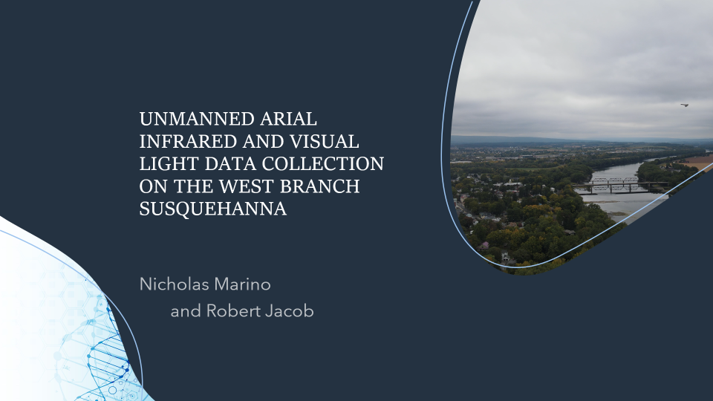
One of the most crucial processes that occurs in the environment is the movement of groundwater and surface water from high elevation to low elevation. This process would not be possible without rivers like the Susquehanna River, draining both ground water and surface water from the central- western areas of Pennsylvania into the Chesapeake Bay. With this being said, it is very important that we understand the processes by which rivers gain or lose water, in order to better understand the watershed as a whole. One of the best ways to better our knowledge of a river is by understanding how they gain or lose water. Finding areas of surface water discharge into river is fairly straight forward but identifying areas where groundwater discharges into the river is much more difficult. Recent technological advances have allowed for the use of thermal drone imaging to detect sites of ground water discharge into rivers by detecting differences in temperature signature within the river. This method works for giving us a better idea of where groundwater discharges, but the cameras ability to see changes in heat signature, as well as quality of the thermal image typically set an obstacle since these zones of discharge are mostly small and the thermal imaging doesn’t have high enough resolution to be able to see small regions of discharge.
We have collected airborne thermal data using a drone (Ebee) along a 2230-meter stretch of the West Branch Susquehanna River adjacent to Bucknell University. 2830 photos were acquired as both visible light images and thermal images over an area of 1.59 km2 for an estimated 2.6 cm/pixel visible light resolution and 15 cm/pixel thermal resolution. The images are being processed and analyzed to evaluate drone infrared imaging and its ability to detect changes in heat signature in the river. The stretch of the river investigated includes definitive surface water tributaries into the river and sections with no tributaries. Given that the locations where surface water discharge enters the river is known, it is possible to use this information to detect other temperature changes within the river in order to find areas where ground water may be discharging into the river. This could help us pinpoint where groundwater discharge may be occurring, and then in the future, it would be possible to carry out geophysical testing of sediment and rock permeability and therefore develop an accurate understanding of where permeable areas reside near the Susquehanna River The initial evaluation of the data indicates that there are significant changes in the temperature of earth’s surface related to buildings, as well as subtle changes within the river. We expect to present available results and interpretations based on the available processed data and relative potential contribution of surface water temperature changes in ground water.
Valley floor landscapes contain a variety of aquatic and semiaquatic habitats that depend on interactions between microtopography and the groundwater table. Historical logging in Pennsylvania frequently used stream channels to move timber downstream to mills along rivers, resulting in catastrophic channel erosion that deepened stream channels, lowered groundwater tables, created single-channel streams, and reduced stream-floodplain connections. These hydrologic and morphologic changes reduced the number, complexity, and area of aquatic habitats across valley floors. However, restoring large woody debris to stream channels can reverse these degradation processes by retaining sediment and organic debris, building up stream bed elevations, and elevating the water table, all of which could combine to reconnect stream and groundwater with former aquatic habitats across the valley floor. Increasing the variety and area of aquatic habitats across the valley floor will likely increase local biodiversity of many groups of organisms, from plants to amphibians, and could lead to higher connectivity and gene flow of certain habitat-limited populations across the region. Large woody debris additions are being performed in several streams in Allegheny National Forest to restore natural channel processes, complex valley floor ecosystems, and corresponding biodiversity. This talk will explore some of the possible ecological benefits of large woody debris additions for aquatic communities in Allegheny National Forest and will consider protocols for assessing biodiversity in restored valley floor landscapes.
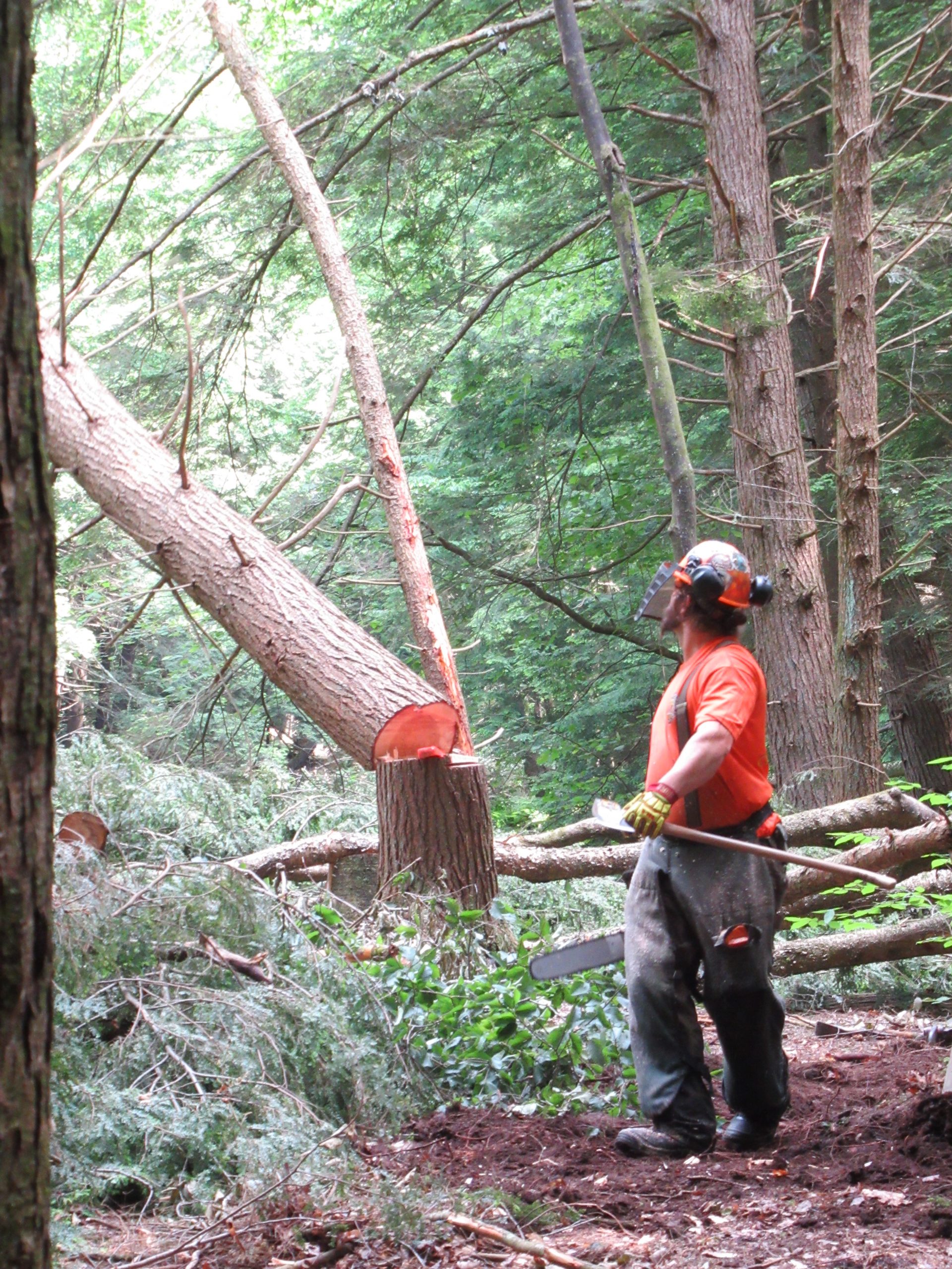
Trees and fallen woody materials in streams and floodplains create a diversity of habitats for many species. Centuries of removing wood to straighten streams and reduce localized flooding have negatively impacted aquatic and riparian habitats, as well as have exacerbated flooding downstream. The U.S. Forest Service at the Allegheny National Forest (ANF), Western Pennsylvania Conservancy, and other partners are utilizing adaptive management restoration techniques to reestablish historic densities of woody materials in streams across the ANF to restore pre-disturbance ecological conditions. In the Little Arnot Run watershed, project partners are intensively monitoring physical (e.g. streamflow, water table depth, and water quality) and biological (e.g. fish, aquatic insects, and riparian vegetation) parameters to quantify the adaptive management restoration technique’s effects on aquatic and riparian ecosystems. The focus treatment reach on Little Arnot Run is moderately incised and has a relic railroad grade that has cut off the stream from the floodplain. This project will utilize excavators to harvest logs and rootwads materials from local uplands and utilize them to build large wood structures (e.g. cross-channel jams) to raise the bed of the stream in key locations. In addition, barriers such as berms and railroad grades will be removed or cut through to create side channels and reconnect flood flows to the floodplain. The goals of the project are to restore fluvial processes and aquatic habitat, improve water quality, improve distribution of gravel and fines, reconnect floodplains and hyporheic zones, and sequester carbon. This presentation will discuss the location, history, and ecology of the watershed, proposed restoration techniques and goals, and briefly outline several monitoring parameters being developed and implemented.